Tool
Map of Leonida
Pan, zoom, filter, check off what you’ve found. Measure the estimated distance between two points, as the crow flies.
Grand Theft Auto VI features six regions in Leonida. The GTA 6 map below brings together places shown by Rockstar and community reconstructions.
Explore the map ↓Including 31 zones (regions, cities, neighborhoods, counties) and 2,398 other places; each one has its own page.
Map help
Moving around
- Drag to move the map
- Scroll wheel or pinch to zoom
- Double-click to zoom in
- + and − on the keyboard
- Click the overview to jump somewhere else
Markers
- A marker with a number holds other places
- Detailed places show up as you zoom in
- Esc closes the panel
Tools
- The trip calculator takes up to 50 stops
- ? opens this help
Trip calculator
Distance and travel time
How it works. Drag to move around, scroll wheel or pinch to zoom, double-click to zoom in. Click a marker to open it, then check it off: your progress stays saved on your device, no account needed.
The “Calculate a trip” button opens the calculator on the map: set the start and the finish (or stops), read the straight-line distance and compare the estimated times on foot, running, by bike and for each vehicle you pick. The reference speeds are those of GTA V, an assumption until GTA VI is out; you can enter the speed you measure in-game for each vehicle, and it stays on your device.
In short
| State | Leonida |
|---|---|
| Main city | Vice City |
| Confirmed regions | 6 |
| Official map released | No, not so far |
| Announced size | No official figure |
| Game release | November 19, 2026 |
The six regions of Leonida
All officially presented by Rockstar. Each card opens the region’s detailed page.
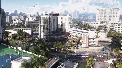
Metropolis
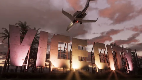
Vice City
Leonida’s main city, reimagined in a modern-day version. Rockstar shows its beaches, Art Deco hotels, residential neighborhoods, expressways and port areas. It’s the densest area in the game.
Open the page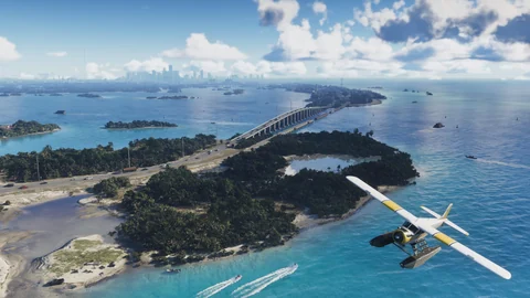
Archipelago
Leonida Keys
A chain of islands in the south of the state, linked by long roads built over the water. Bars, beaches, boats and marine life. Jason lived there before the events of the story.
Open the page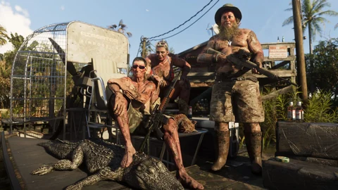
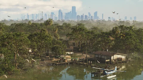
Swamps
Grassrivers
A huge subtropical wetland, the equivalent of the Everglades. Mangroves, shallow water, airboats and wildlife. Proof that you won’t get around the map only by car.
Open the page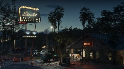
Coastal city
Port Gellhorn
A beach town that lost its prosperity. Cheap motels, closed attractions, roadside shops. The exact opposite of Vice City.
Open the page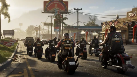
Rural industry
Ambrosia
The farming and industrial side of the state, shaped by the sugar industry and small towns. That’s where Rockstar puts the Allied Crystal refinery, among other things.
Open the page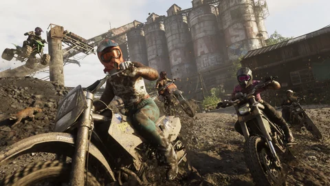
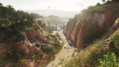
National park
Mount Kalaga
The high ground of northern Leonida: forests, rivers, off-road trails. Rockstar ties it to hunting and fishing activities.
Open the pageEvery place spotted on the map also has its page: all the places on the map, sorted by neighborhood, city and county. From a marker, “Open its page” takes you there.
Official or rebuilt: the difference matters. The six regions and their names come from Rockstar. The exact position of the borders, the road layout and the location of points of interest, on the other hand, are reconstructions. A place added by the community isn’t necessarily a place officially named in the game.
We’d rather show a clearly labeled temporary base map than a reconstruction presented as a sure thing.
Map guide
Search for a place. Zoom in to separate marker clusters. Open a place to read its description and check its source.
You can mark places as found and add personal markers. Progress stays in your browser; use Export to keep a copy.
Sources and method
This guide distinguishes names and images published by Rockstar from community-reconstructed coordinates. Travel times are straight-line estimates.
What’s next?
The rest gets written on November 19, 2026.
The map gets more precise with every new official image.